G: Lake Burrumbeet South Shore
Physical features and hydrology
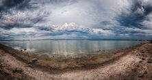
The lake is a large open water body with a surface area of approximately 24 square kilometres (9.3 sq mi). Burrumbeet Creek is the main input to the lake with some other catchment areas to the north and south. The flow of the creek is supplemented by a release of 2,000 megalitres (440,000,000 imp gal; 530,000,000 US gal) of treated waste water per year from the Ballarat North Treatment Plant. The lake outlet is situated in the south-west shore of the lake and flows into Baillie Creek, which is a tributary of Hopkins River. The outlet is controlled by a series of boards which are raised or lowered depending on water levels. The lake is characterised by a sand and mud bottom with rock outcrops.
Nature observation
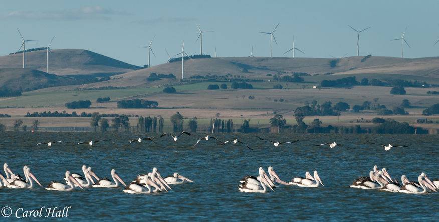
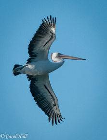
Lake Burrumbeet offers many opportunities to observe nature. The area contains valuable grassland and Eucalypt woodland and is home to significant hollow bearing trees, including a magnificent stand of 500 year old River Redgums.The area is habitat for the Growling Grass Frog and the Golden Sun Moth and the lake is a potential breeding and roosting site for wetland birds, such as the Brolga, the Freckled Duck and the Pelican.
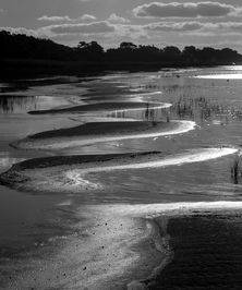
A wonderful place to find interesting landscapes, waterscapes and a wide variety of water birds. While it is possible to drive around from the south side of the Lake to the Ballarat Highway it's NOT recommended without a 4WD. In patches it becomes very boggy after rain. A short walk from the toilet facilties will take you to a small inlet where there are some interesting rock formations.


